
Mt Whitney is the tallest mountain in the contiguous United States at 14,508 ft (elevation varies depending on where you read). The trail head starts at 8,360 feet and gains over 6,000 feet. This is a 22 mile round trip hike, and if done in one day, is considered an extreme hike. Typically it takes hikers 12-16 hours to complete. Took me 14.5 hours. In order to do this hike in one day, you will need to do it partially in the dark! Many hikers choose to obtain an overnight pass that allows them to camp in one of two campgrounds in the Whitney Zone. Hikers choose this method as it allows themselves to acclimate to the elevation change and decrease the possibility of altitude sickness. Why some get this and others don’t is unknown. Training at higher altitudes helps decrease the possibility. I did not get sick, I didn’t take medicine to prevent it, and the last time I hiked at 10,000 feet was the year before in Yosemite. Many on the trail I passed were impressed that I didn’t get sick doing this in one day. A few men noted it must be my genetics. I was a little too oxygen deprived to come back with a snappy response on that one. Anyways, I have no answer for you on this. I just went into the hike expecting to not get sick.
You will start your journey at the visitor center. Picking up passes your reserved early on or via the lottery are obtained here, not at Portal Store. The view of Mt Whitney to the left of the flag pole at the Eastern Sierra Visitor Center.

I had wanted to hike Mt Whitney for a while and knew I had to get a permit. Like many permitted hikes, it is not easy to get one! A lottery is held starting February 1 – March 15 of each year with remaining spaces open to web reservations on April 1st. I did not have one. I decided to take a risk on the same day lottery. This means if you want a Mt Whitney day hike pass that is only good for the next day, you need to show up for the 2 pm daily lottery. Do show up by 1:45 pm. What happens now depends on the number of people who drive to the Eastern Sierra Visitor Center (you need to be in person for daily lottery) and the number of cancellations. I drove from Phoenix… 7 hours! I arrived on Friday August 11th late that morning for the lottery. There was 5 others who were there, and enough cancelled reservations that we each got a pass! I was hiking on my own this time. The ranger said we were lucky as some days there are 20-30 people who show up and only 10 cancellations! Had that been the case, they would have had us all draw numbers from this can and number 1 gets the first permit, and so on till they run out. 
You will get this permit that must be placed visibly on your pack and you also must carry the visitors permit paper they give you for day use with you at all times within the Whitney Zone. You also get a Wag Bag . You must carry out all your human waste.
Now that I had my permit, up I went to the trail head! This is about 13 miles away, turning south at the light in Lone Pine. Lone Pine has stores to fill up with food and definitely thrives off the hikers coming through. I decided to get a last meal at the Mexican restaurant in town. Fill up with water before you head up the campground and trail head (fill up at the visitors center). The water supply at the trail head had notices that it was contaminated with e coli and needed to be boiled first. You don’t want to boil 3 liters of water.


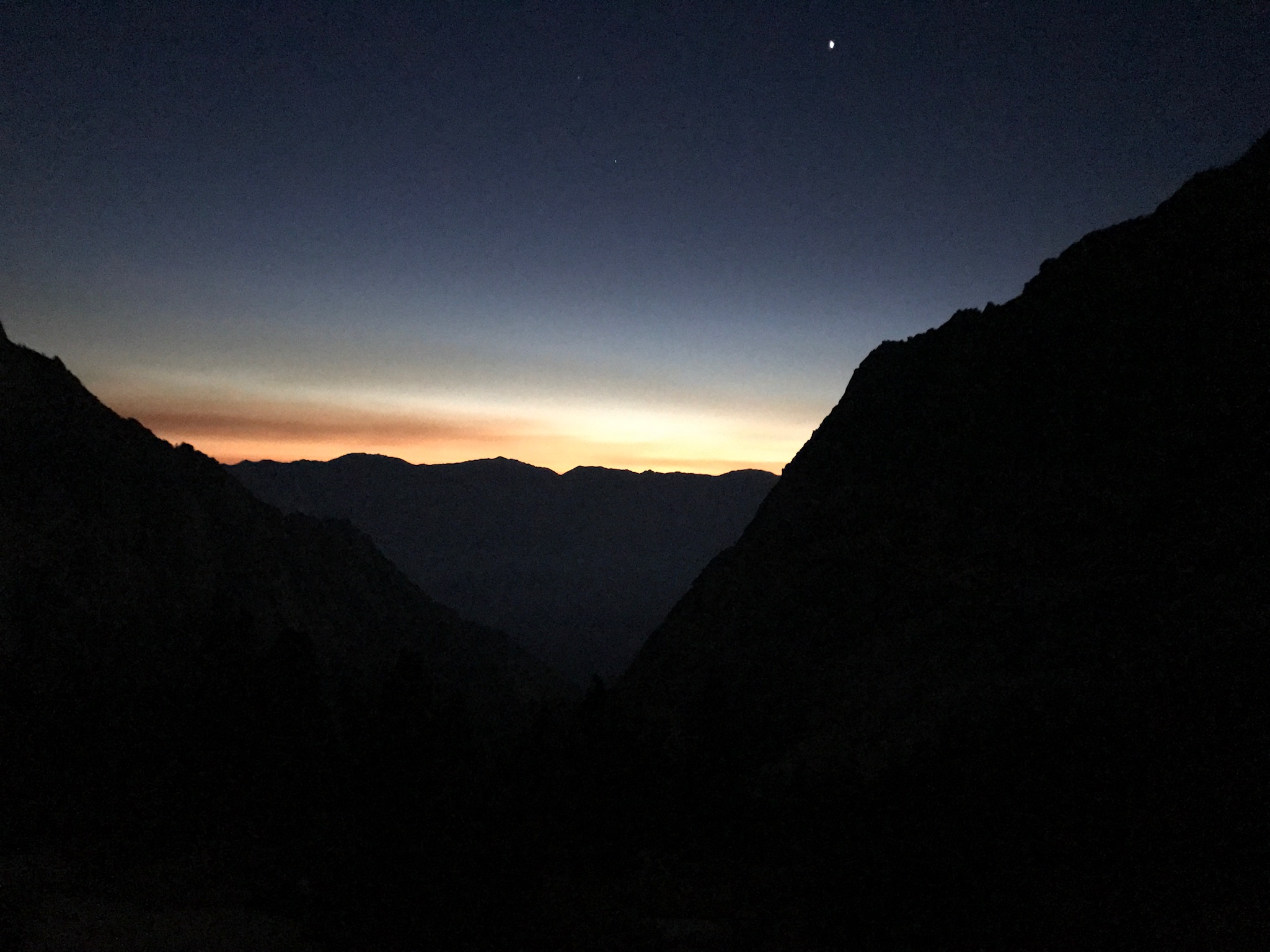
I woke up at 3:45 am (having everything ready to go!) and set out on the trail at 4 am. By this time, I was watching head lamps dance up the hill in front of me. It was fun to watch lights ahead and behind you as you progressed up. What did I wear? I worn hiking pants, a t shirt and a long sleeve shirt. I had my light fleece jacket as well as my wind/water proof jacket. I did bring light gloves (made for hiking). It was definitely cool at 45-50 degrees starting out but soon I took off all but the short sleeve and long sleeve shirt. Jackets went away until I got to the top. It is very cold, and can be windy up there. My nose, like others, started to run during the last 1.9 miles. I never used the wind proof jacket, but it is so light weight I take it every where with me.


Once you pass the Lone Pine Lake turn off (you don’t hike by lake, but do hike past the sign to turn off), you see the Whitney Zone sign. The one picture is above the sign, looking down on Lone Pine Lake.


The next major mile stone is Outpost camp, the first area to stop and camp overnight. There are fewer people camping here, but it is in the trees and has a creek running through it. It is much further away from Mt Whitney, so many rather camp over at Trail Camp.


One of my favorite pictures on the way up! The sunrise hitting the peak and it’s reflection.
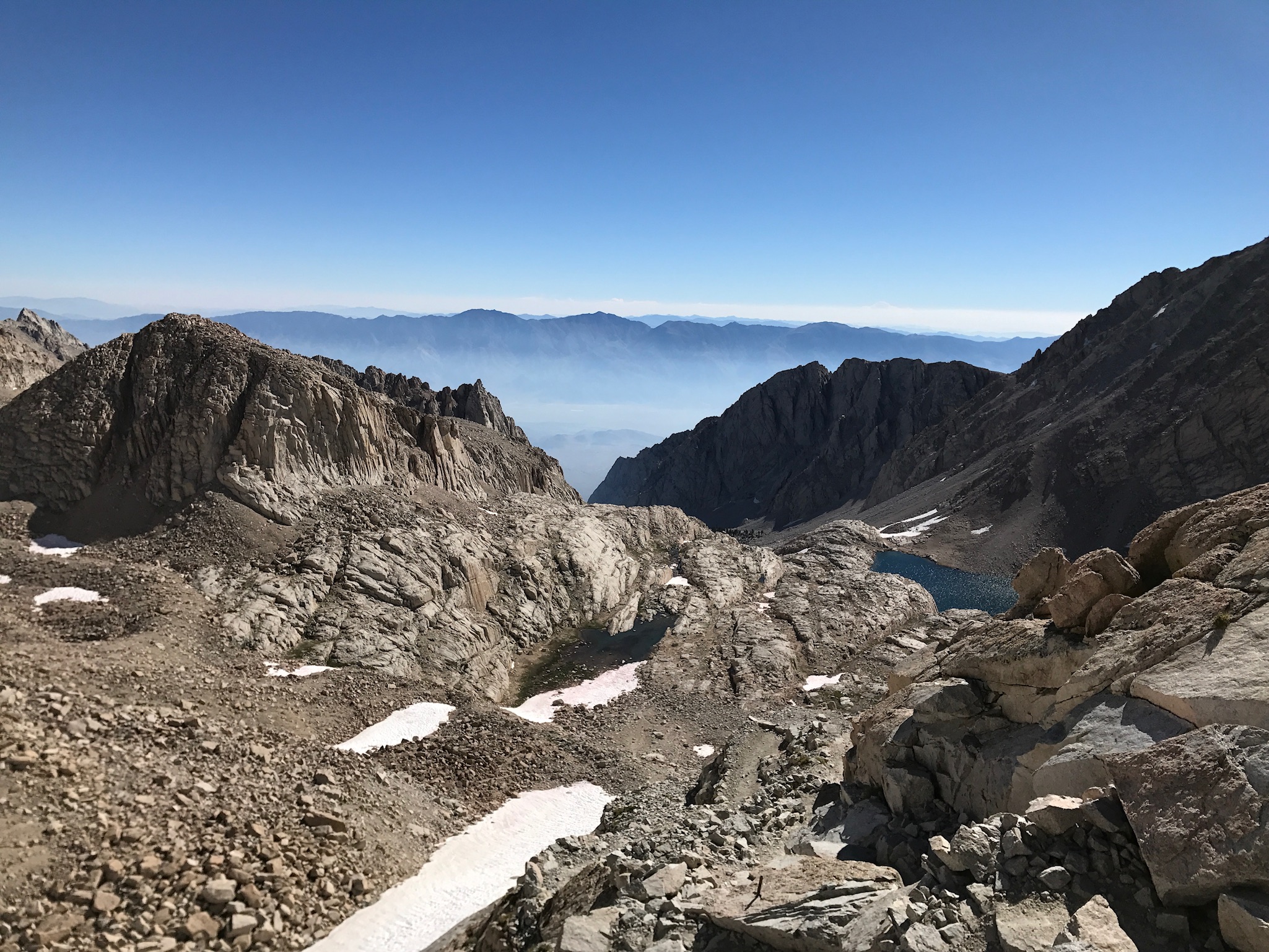
If you were unsure, this trail has a ton of switch backs. It feels like mostly switch backs however those are not the best pictures! Mirror Lake below.

This hike was absolutely beautiful! There was many pretty areas along the way. Snow pack feeds this creek below. The red on the snow is an algae that thrives on freezing water. Called chlamydomonas nivalis, it is something you don’t want to eat unless you want a laxative effect!


Looking down at Trail Camp (picture with tents) after hiking the 99 switch backs and up 1600 feet. Elevation is now 13,600. Oxygen 59% level. I hadn’t mentioned oxygen level till now, but if you are interested in the decrease in oxygen level, here is a good source of information.

And here is the trail crest! Congratulations, I am at 13,600 feet! YAY!

Then the most soul sucking things occurs. You have to hike down about 150 feet to the Mt Whitney trail head. Serious, after climbing up, and thinking you only have 900 feet of elevation gain to go, any amount down is sad.


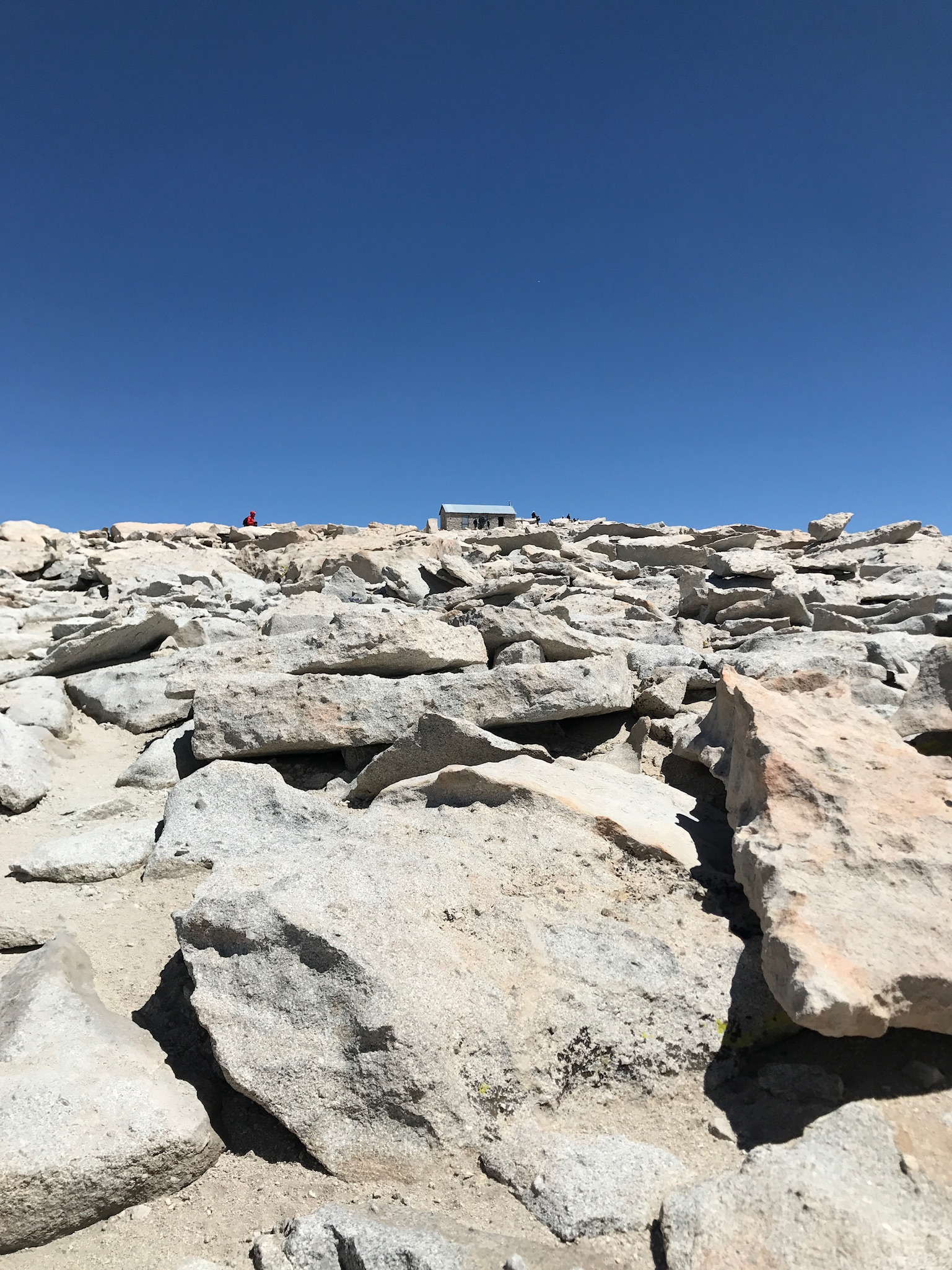
The cabin is called the Smithsonian Institute Shelter completed in 1909. Scientist built it to study high altitude phenomena before high altitude flight was possible.
With a renewed sense of energy after seeing the cabin, you now make it to the top! Peak 14,508 depending on source. Oxygen level is 58%. Make sure you sign the visitors log!


It took me 8 hours to make it to the top. You want to stay as long as you can to savor the view, but you know the oxygen is much thinner now, and you want that cheeseburger before the store closes. There was a forest fire in the distance as well. After about 30 minutes, I headed back.


Leave a comment